Voice of the Danube
“Deployment of Information System for Monitoring of Water Resources for Sustainable Exploitation of Rivers and Dams using Earth Observation and AI (ISMoSeDe Deploy)” is the title of a project initiated by IAWD member Mozaika, a Bulgarian data science company, and financed by the European Space Agency. IAWD is proud to join this project with ongoing knowledge sharing and communication support.
Participants of last summer’s Danube Water Conference will likely remember one of the most exciting contributions to Friday morning’s poster session: Humanizing Technologies Lab Mozaika presented its satellite-based water resource monitoring project. It takes the monitoring of rivers and hydropower reservoirs beyond standard measurement and monitoring methods, deploying AI to exploit the available data from the vast number of satellites in the near-Earth orbit. This may well be a giant leap for the water and energy sector, and IAWD is excited to be part of this.
Rivers carry the lifeblood of our civilization, providing us with precious water resources and renewable energy. Managing these resources involves daily monitoring of water, meteorological conditions, the status of coasts and estuaries, flood areas, and so much more.
Timely, clear, and easily decodable information, analytics and early warnings are of key importance for the safe and sustainable development and management current of river systems.
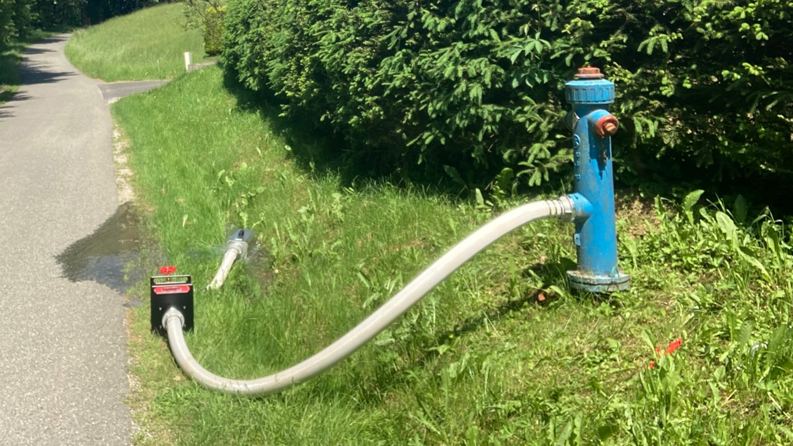
Today, the standard tools of river monitoring are manual measurements, input from sensors and real-time monitoring by video cameras, combined with meteorological data and weather forecasts. These tools have made river monitoring quite reliable, but they involve enormous effort, consume huge amounts of manpower, still leave considerable room for errors, both by humans and sensors, and rely on measurements taken at particular points – means they cannot provide an overall view of a river environment.
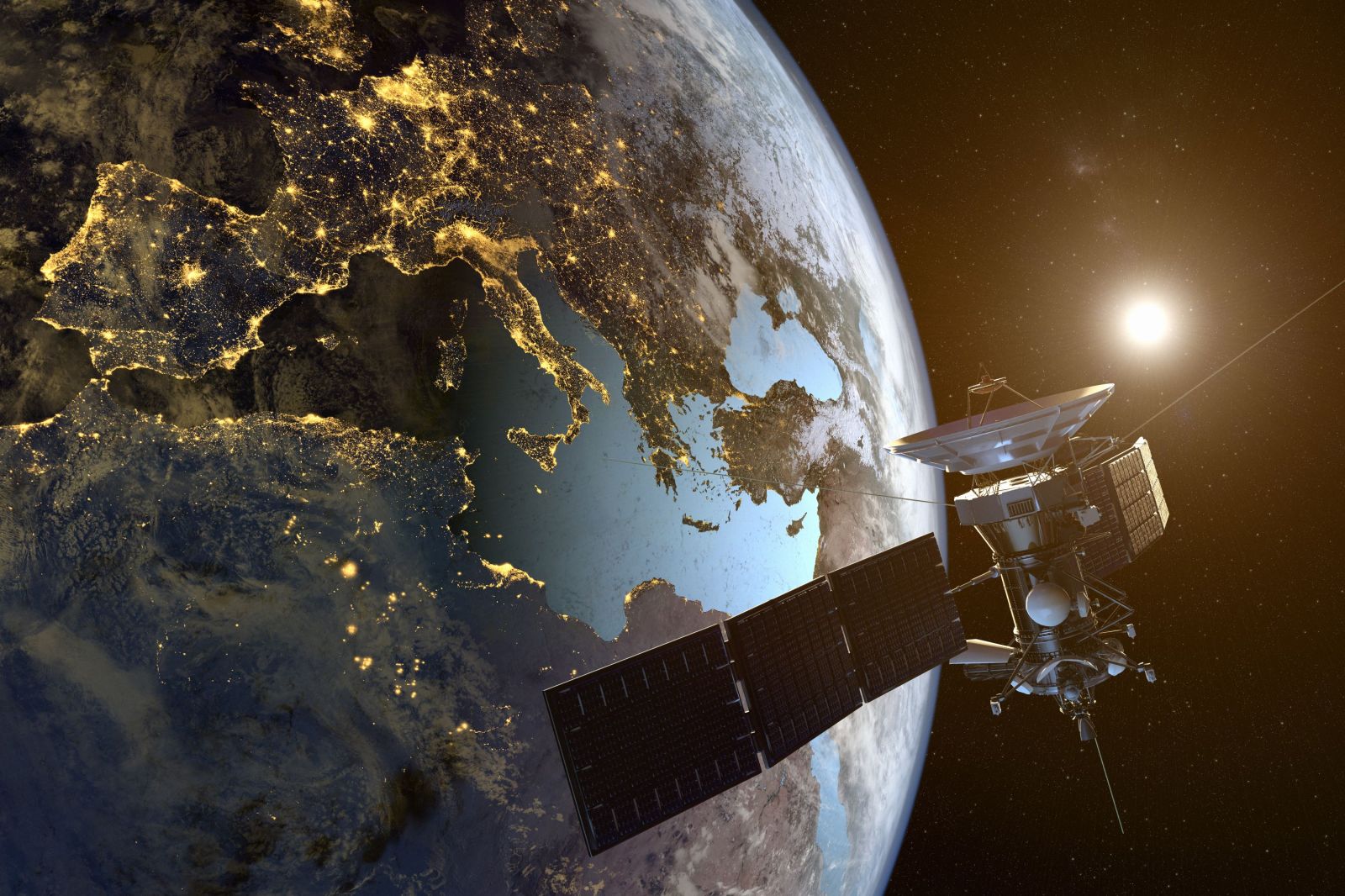
Which is where EO comes in – Earth Observation. The term refers to monitoring by satellites in the near-Earth orbit. And no – this does not mean that we must build another satellite and shoot it into the orbit. There is enough hardware circling the planet. More than enough, as a matter of fact.
According to the Union of Concerned Scientists (UCS), which keeps a record of all operational satellites, by 1st January, 2021 there were 6,542 man-made objects up there, out of which 3,372 were active and 3,170 are satellites. In 2020 alone, a record number of 1,283 satellites were launched, and in 2021, almost 850 satellites had been launched by the end of April. 906 of the operational satellites are engaged in Earth Observation, delivering an enormous flood of data and an ongoing challenge for the EO community working to consistently and systematically turn the input into workable global information layers.
Today, Earth Observation (EO) applications and technologies are used in a wide range of applications, covering land, marine and atmosphere monitoring. The global EO downstream market is estimated to be between EUR 2.6 and 2.8 billion, mainly driven by governmental applications, which represent between 50% and 60% of the revenues. The downstream market shows an expected compound annual growth rate of 7% up to 2022, with revenues of currently between EUR 750 and 1,200 million. In lockstep with the global EO economy, the EO downstream sector in Europe shows stable growth over the years and is expected to maintain a CAGR above 6% in the coming years. In this context, the European Copernicus program is ramping up in terms of user uptake, benefitting from an increasing user awareness, a gain in maturity of the services, and the ongoing adaptation of the intermediate market to fulfil end users’ specific needs.
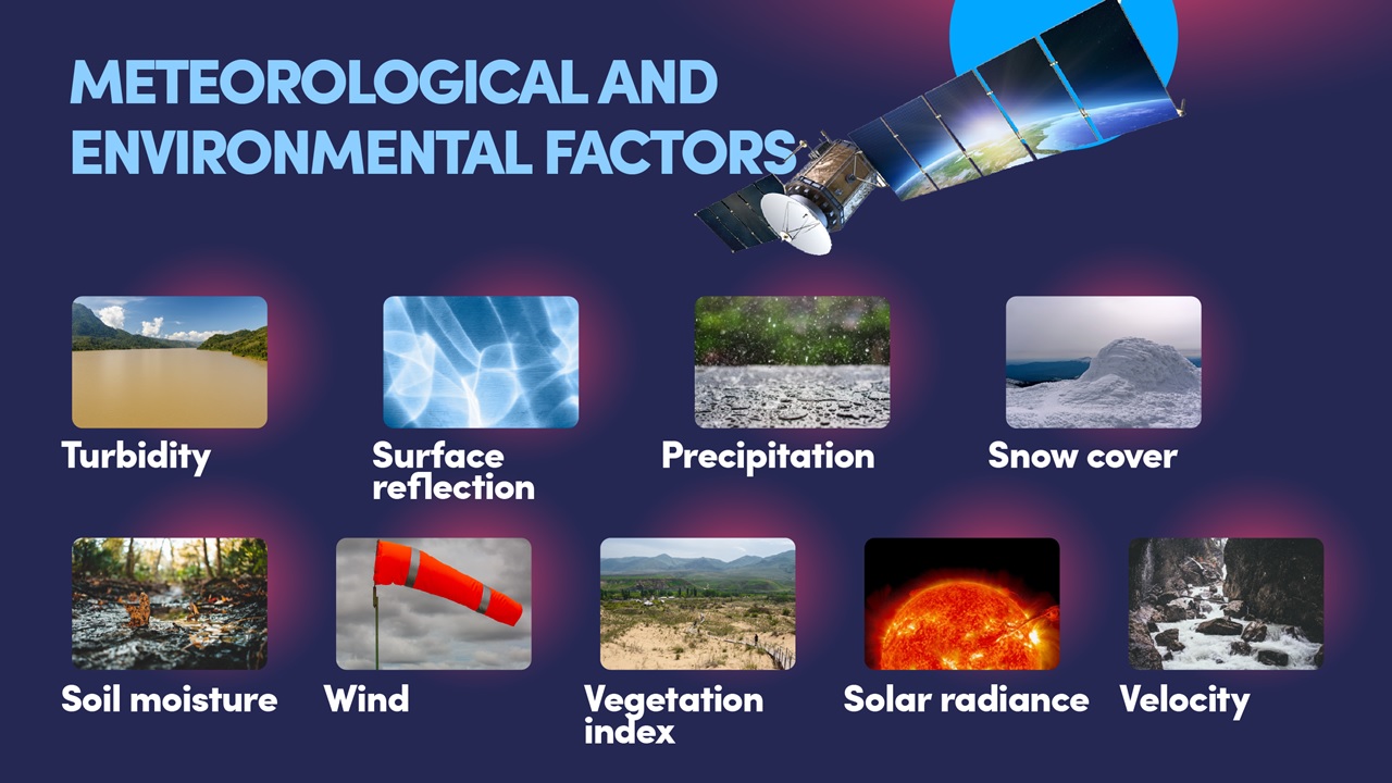
Harnessing the EO data flood for the water sector promises to become a game-changer: Earth observation covers whole river landscapes and delivers data for all relevant factors influencing the hydrological status of rivers and dams, including precipitation, snow fall, snow cover, vegetation index, soil moisture, turbidity, solar irradiance, air temperature etc. – an ideal base for precise hydrological predictions and forecasts (Figure 1).
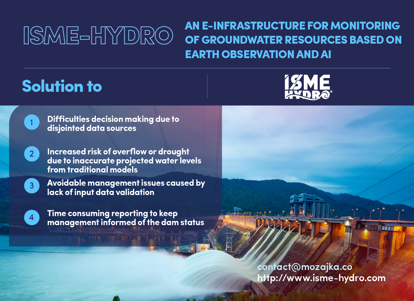
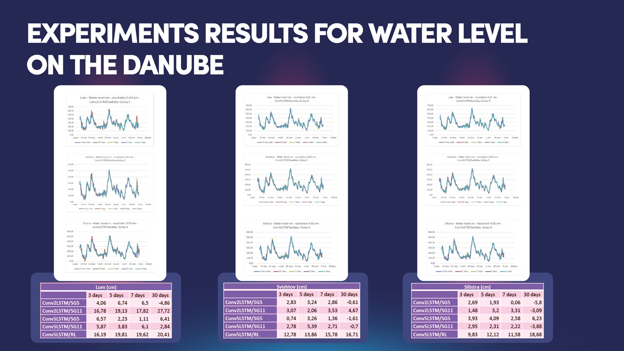
For instance, Mozaika applies EO4AI -Earth Observation for Artificial Intelligence – in the ISME-HYDRO system to forecast the runoff, the water level, the turbidity density of rivers and the available water volume in dams by coupling the meteorological data from satellites with in-situ measurements, feeding it all into pipelines of neural networks. The system achieves convincing results, matching the curves of the fluctuations of real measurements to up to 99% precision (Figure 2).
Such forecasts benefit water and environmental professionals in a wide variety of situations, for instance in keeping fairways on navigable rivers operational, monitoring the water balance of dams, planning the countrywide distribution of water resources, preparing disaster management plans, designing climate change adaptation measures, determining standards for dam removal, and many more.
The current project explores how such an approach can provide sufficiently reliable decision- making support in real-life operational contexts of dams and rivers monitoring. The promise is truly exciting, and the IAWD is proud to be on board.
We will keep reporting of the months and years to come. Stay tuned!